Getting to Wolf Creek Falls is a bit of an adventure. You will drive south of the city of Prescott and into the Prescott National Forest. Then you will leave the paved roadway for the dirt and gravel, sometimes one lane, Wolf Creek Rd.
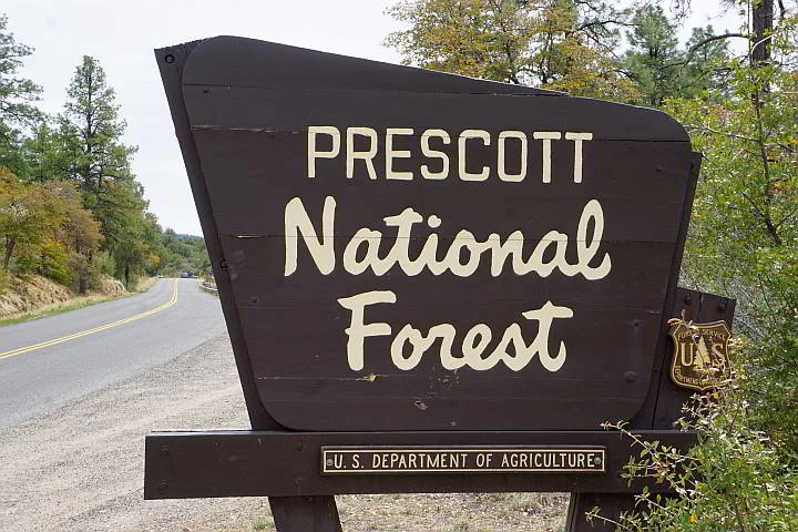
It’s an adventure that is well worth your time and effort. Prescott National Forest is filled with beautiful big Ponderosa Pines and smells heavenly. The forest is my happy place.
Since I’m spending more time in Arizona than I initially planned, I get to explore a lot of the hiking trails around Prescott.
In this post you’ll learn about hiking Wolf Creek Falls in the Prescott National Forest of Central Arizona.
Bookmark this page so you can come back to it when you do the hike and share it with your friends. Also check out my post about 5 beautiful lakes near Prescott for more great hiking ideas. Or hike the Constellation Loop Trails.


Wolf Creek Falls Hike Prescott Arizona
Getting to Wolf Creek Falls Trail
From Prescott the easiest route is to take Gurley Street to Senator Hwy South and follow it all the way to E Wolf Creek Rd where you’ll turn right, then make a left on the dirt road and continue for 2.3 miles.
It’s a pretty drive. Take it slow and watch out for cyclists, pedestrians, and wildlife.
Look for a gate on the left side of the road and that’s the trailhead for the waterfall hike.


This gate is the trailhead to Wolf Creek Falls hike
There is a trail marker on the right side of the road, but that side does not lead to the falls.


A sign for Trail 384 Wolf Creek Trail with handwritten sign “no waterfall access”
You may need to park further down the Wolf Creek Rd if there is no room for parking closest to the trailhead for Wolf Creek Falls.


Parking on Wolf Creek Road near the trailhead
If you are camping at the Lower Wolf Creek Campground you can walk up the road 1.2 miles to the trailhead.
Try visiting on a weekday morning, like I did, and you may enjoy fewer people around.


The beginning of the hike is easy with a slight elevation change
When I started the hike, I met another woman hiker, her niece, and her dog Eddy. She told me that they tried to find the waterfall on the weekend but made a wrong turn somewhere on the trail and were way off from the falls.
My Alltrails app (I use the paid version but there is also a free version you can download) showed my location with a little blue dot so I kept the app open during the hike to make sure I was on the right path to the waterfalls.


Hiking dog “Eddy” enjoying the trail and leading the way
Wolf Creek Falls Trail Description
Starting out past the gate by the dirt road the trail is even and easy to walk, then you’ll enter the forest and it gets rockier but still quite easy.
Further along there are a couple of places on the trail where it’s easy to go the wrong way.
Watch for a big cut log where you’ll see a trail crossing a bit before. You should keep going straight and continue past the log.
Shortly afterwards you’ll cross the Wolf Creek and at the “Y” in the trail you should veer left.
March 5, 2021 Edit: Reader John Lasater commented on my directions as follows: “I’m afraid Susan got her right and left mixed up….If you veer left just past the creek, you will never see the falls. Instead, when you come to the creek crossing, there are trails on either side of the creek that eventually meet. It is not marked. The falls are a short distance downstream from where Forest Trail 384 crosses.”


Giant pine needles of the Ponderosa Pine in Prescott National Forest
You can still get to the falls if you take the route on the right but it’s harder to find since the trail is overgrown near the falls.
Getting close to the falls you must scramble a bit to get down the trail. This is where you will be thankful you wore proper hiking shoes or at least footwear with good gripping power.


Wolf Creek Falls is about 35 feet – nice place to cool off after hiking
Down by the waterfall there are big rocks that you can sit on and enjoy a picnic lunch. You may want to step under the waterfall for a refreshing shower.
Also, there is a grotto behind the waterfall so you can sneak past the falls without getting too wet.
Another pretty waterfall hike in Prescott is the Watson Lake Dam trail – check it out!


Rugged beauty of Prescott National Forest
Wolf Creek Falls Hike Info
- Duration: 1.8 miles round trip
- Type of Hike: Out and back
- Elevation gain: 187 ft
- Difficulty: Moderate
- Time: Allow 60 – 90 minutes
Trail marker: #384 Prescott National Forest


Rocky terrain and a beautiful pine forest along Wolf Creek Trail
More Fun Things to Do Near Prescott
West Fork Trail at Oak Creek Sedona
Petrified Forest National Park
Superstition Mountains Wave Cave

Prescott National Forest is a great place for hiking in Arizona
Save it on Pinterest and SHARE!


John Lasater
Friday 5th of March 2021
I’m afraid Susan got her right and left mixed up. East Wolf Creek Road only turns to the right when you are headed South on Senator Highway. Also, if you veer left just past the creek, you will never see the falls. Instead, when you come to the creek crossing, there are trails on either side of the creek that eventually meet. It is not marked. The falls are a short distance downstream from where Forest Trail 384 crosses.
Susan Moore
Friday 5th of March 2021
John, Thank you for your comment. Are you calling me directionally challenged? Guilty as charged, LOL! Thank you for the corrections, I'll edit the post to include your information. Cheers, Susan